
Marine geophysicist/geologist, VLIZ, Belgium
- @UlsterUniGES
- Dec 2, 2022
- 5 min read
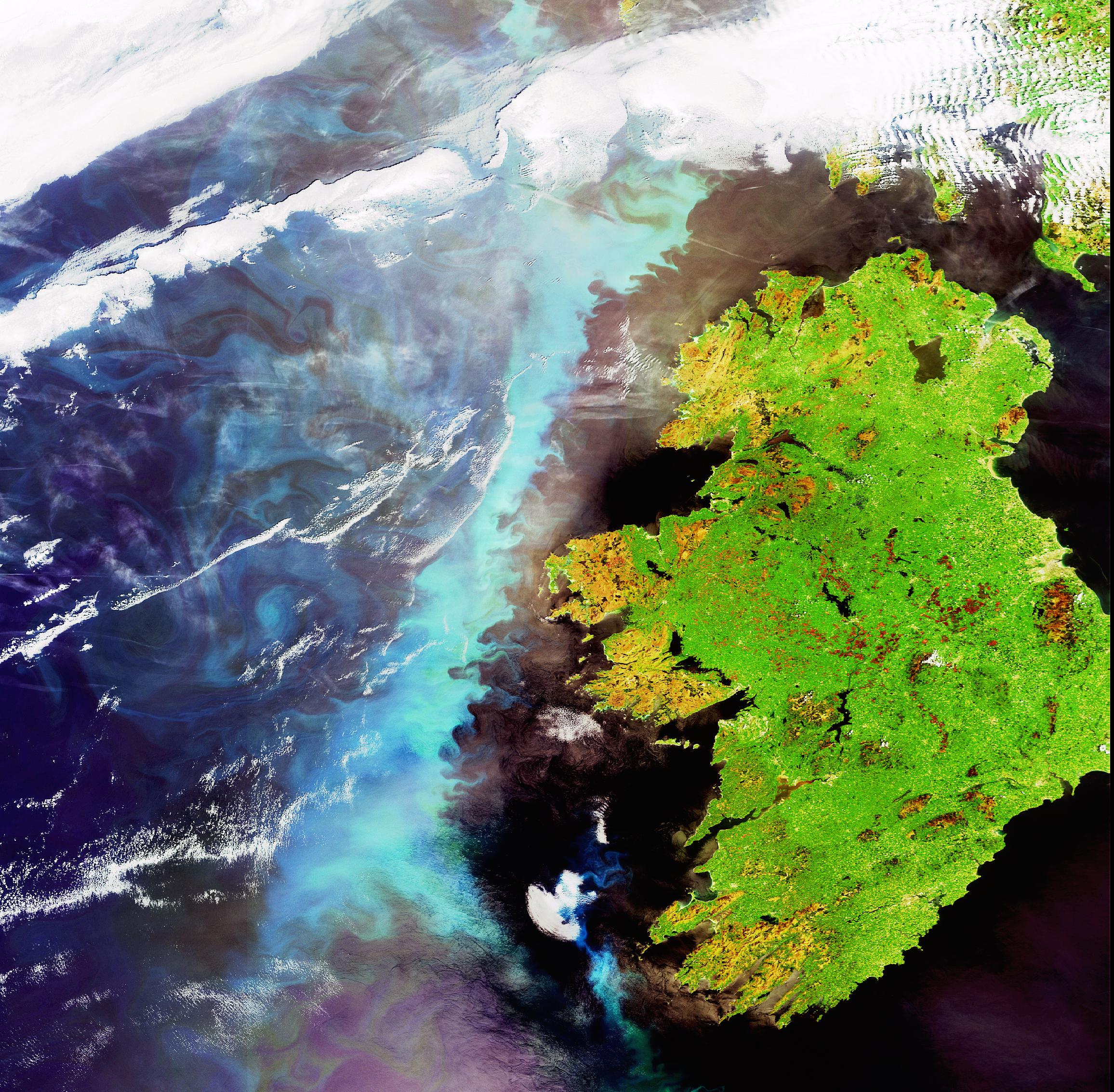
VLIZ recruits: Research Marine Geosciences - Geophysical Imaging of Clay Tectonic Features Are you passionate about marine geology? Do you want to contribute to geo-solutions for the offshore energy transition? Join our Research team as a geologist or geophysicist for the Clay Tectonics project. This innovative project will investigate clay tectonic features (CTFs) and their influence on offshore wind foundation design and installation. You will perform research on the geophysical imaging and processing of these features, such as polygonal fault networks and diapiric structures, on the Belgian Continental Shelf.
Researcher Clay Tectonics
Paleogene clay layers form the main substrate in the planned offshore wind farms (OWFs) in the Princess Elisabeth Zone in the Belgian part of the North Sea. Even though the presence of CTFs in some of these layers is well known, the effect of these features on the stability and geotechnical properties of the clay is unknown. Moreover, evidence exists that faults were reactivated after they were formed, underlining that these features may negatively affect the stability of the clay. The overall aim of the Clay Tectonics project is to apply an integrated geophysical/geological/geotechnical approach to investigate the occurrence and formation of CTFs, as well as their influence on offshore wind foundation design and installation.The Clay Tectonics project is a 2.5-year project led by Flanders Marine Institute (VLIZ), in close collaboration with Ghent University and Free University of Brussels (VUB - OWI-Lab). The following scientific objectives are envisaged:
A thorough characterization of the CTFs in the study area of both large-scale elements (e.g. properties of the fault network as a whole) and small-scale elements (e.g. features related to individual faults).
Detailed geological analysis and reconstruction of the CTFs to further elucidate their genesis and (potential) reactivation, as well as the underlying processes and parameters affecting the distribution, style and intensity of the deformations.
Integration of geophysical and geotechnical parameters for a realistic geotechnical characterization (ground model), to be used for numerical simulations in the context of offshore wind development. This will include dedicated onshore field sampling of fault sections on land.
Our offer
We offer a challenging job in the dynamic environment of VLIZ.
A contract of definite duration (24 to 28 months, depending on experience, seniority and start date) as a (post-doctoral) researcher. The salary follows the salary scales of scientific personnel in the Flemish Government.
Fringe benefits: holiday pay, end-of-year bonus, meal vouchers, bike allowance, free public transport for home-work commuting and an attractive holiday arrangement.
A good work-life balance including 35 days off, flexible working hours within a 38-hour working week and the possibility to work partly from home.
Your main responsibilities
Review of existing literature and available geophysical (acoustic and seismic) datasets to identify a representative CTF study area;
To plan and develop strategies for the seismic data acquisition at sea;
To assist with the acquisition of geophysical data at sea
To develop an innovative processing workflow for the optimal identification of the CTF-related deformation structures;
To process the different seismic datasets (mostly parametric echosounder and sparker) and combine them into an integrated 3D volume;
To explore novel methodologies to improve the processing and visualization of geophysical datasets;
To assist with the interpretation of the seismic data to better understand the deformation structures;
To provide general support to the project including preparation of (public) presentations, developing information for publication and media, and organization of consortium and stakeholder meetings;
To actively participate in project meetings and provide project deliverables (e.g. reports);
To publish research output in the form of high-quality peer reviewed publications;
To present research findings at public events and national and/or international scientific conferences;
To provide support and assistance to other (VLIZ) staff members in the completion of duties and programs of work;
To undertake the duties in such a way as to promote the project and enhance the reputation and public profile of VLIZ;
To undertake any other relevant duties appropriate to the grade and nature of the post.
For each function, VLIZ considers enthusiastic involvement, open servitude, excellent professionalism and integrity as important characteristics
Your profile
Educational & professional qualities
PhD in (marine) geology, geophysics or earth/marine sciences, or equivalent research experience
Previous experience
Experience in the acquisition and processing of high and ultra-high resolution marine seismic data.
Evidence of participation in field surveys, using acoustic/seismic mapping techniques.
Desirable:
Experience in the use of GIS software and specific software packages for the processing and interpretation of seismic data (e.g. Radexpro, IHS Kingdom).
Experience in the interpretation of seismic data.
Experience with the processing of 3D seismic data
Interpersonal skills
Good communication skills in written and oral English.
Ability to work as an individual and as part of a group.
Desirable:
Evidence of working as part of a larger research project.
Evidence of experience with stakeholder engagement and public outreach.
Research & analogous activities
Evidence of presentation of research at academic conferences.
Publication of papers in peer reviewed scientific journals.
Desirable:
Record of submission of research proposals for external funding.
Evidence of collaborative research activities.
Other factors
Willingness to assist in group research including fieldwork and external seminar delivery.
Evidence of critical and creative thinking.
Willingness to learn new skills
Desirable:
Full current driving license, valid in Belgium.
About us
For over 20 years, the Flanders Marine Institute (VLIZ) has been strengthening the accumulation of marine knowledge and the excellence of marine scientific research in Flanders. VLIZ is a coordination and information platform, a focal point for marine and coastal research, which also serves as an international contact point for marine science. Important activities are national and international networking, information and data management, scientific communication for policy and industry, education and the general public, and logistical support of marine research. Since 2017, the institute also initiates, promotes and executes innovative and multidisciplinary marine research, and this at the service of, in collaboration with or complementary to Flemish and international marine research groups. You will work in a unique institute in which your science will be supported by state-of-the-art data systems and services, research infrastructure, science communication and an extensive marine library. Moreover, VLIZ is part of a wide network of Belgian and international marine research groups, offering many opportunities for scientific collaboration
Additional information
For more information concerning this vacancy, please contact:
Thomas Mestdagh, researcher Seascapes Past and Future research unit, thomas.mestdagh@vliz.be
Tine Missiaen, head of the research unit Seascapes Past and Future, tine.missiaen@vliz.be
Does this vacancy appeal to you?
Send in your cover letter and CV by 10 January 2023 (23:00 CEST):
By post: Jan Mees, General director VLIZ, Innovocean Campus, Jacobsenstraat 1, 8400 Oostende
By mail: jobs@vliz.be with subject “Clay Tectonics”
Procedure Based on the received motivation letters and CVs, a select group of candidates will be invited for a job interview. You will be informed by email. The job interviews take place in the offices of VLIZ or online. Interviews are provisionally booked for 23 or 24 January 2023. Employment will ideally start on 1 February 2023 and can be further discussed in mutual consultation.


Comments