


Mapping and Charting Officer, OSNI
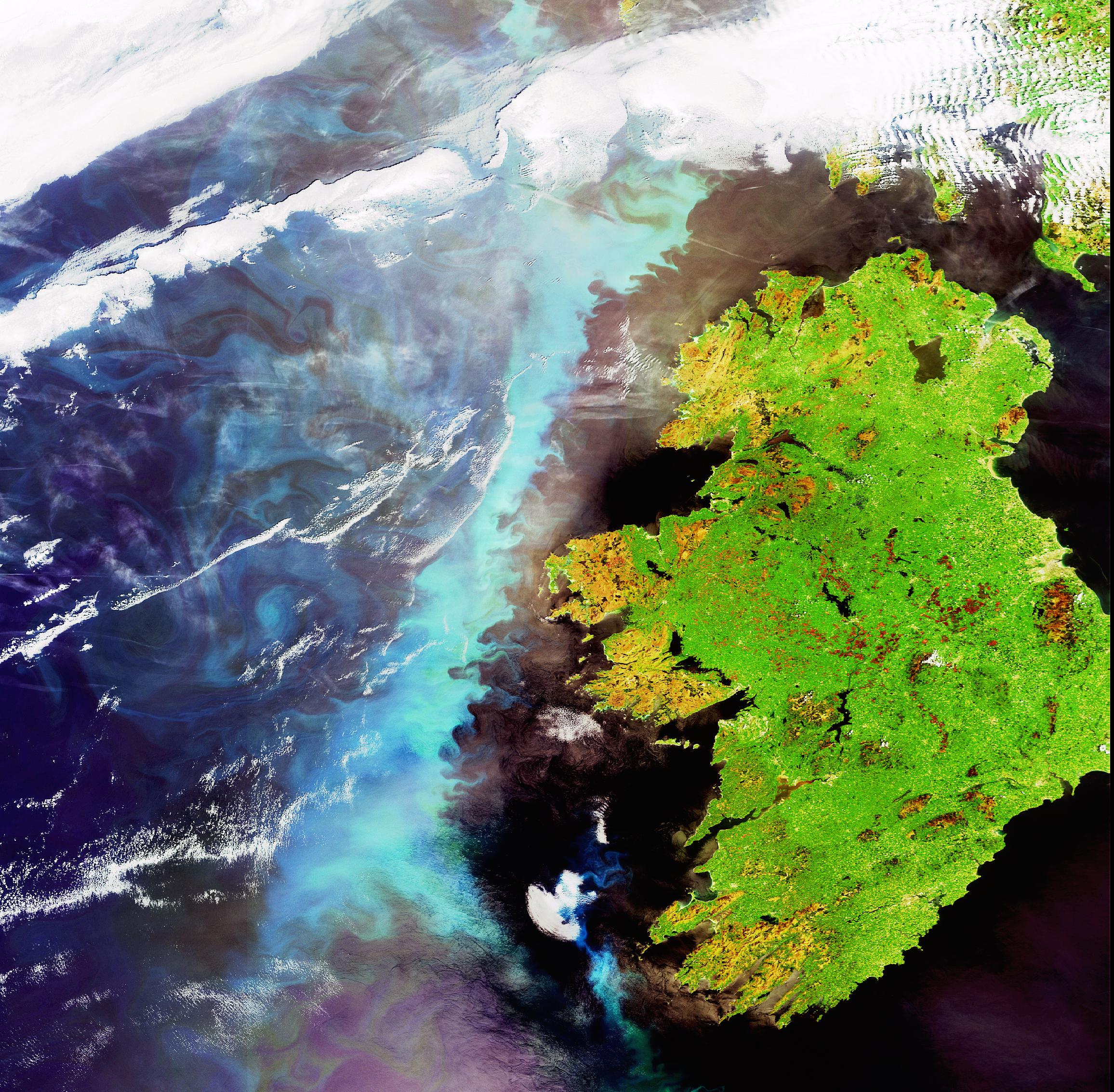
The Mapping and Charting Officer role sits within Ordnance Survey Northern Ireland (OSNI), part of Land & Property Services within the Department of Finance.
They provide the geographic information that helps government, public bodies and organisations understand Northern Ireland and make better-informed decisions.
As a Mapping and Charting Officer (MCO) with Ordnance Survey Northern Ireland, you'll play a key role in creating, maintaining and delivering authoritative geospatial data and mapping services.
It's an opportunity to apply your technical knowledge to work that has a real and lasting impact.
If you are professionally qualified, career-minded, and interested in making a meaningful impact, we welcome your expression of interest.
Further details: https://www.nicsrecruitment.co.uk/mapping-and-charting-officer/


Comments