
Postgraduate Research Scholarships, Geography Dept, MIC
- @UlsterUniGES
- Mar 31, 2022
- 9 min read
Postgraduate Research Scholarships 2022-23
Applications are now open for a range of postgraduate research scholarships at the Department of Geography, Mary Immaculate College, Limerick.
MIC Doctoral Award: fee waiver + €12,600 annual stipend
Departmental Assistantship Award: fee waiver + €6,900 annual stipend
MIC Doctoral Studentship Award: fee waiver + €6,900 annual stipend
MIC Postgraduate Studentship Award: fee waiver + €6,900 annual stipend
We hope to announce one further €11,900 scholarship (+ fee waiver) soon
Scholarships are eligible for Masters (MA by research) or Doctoral (PhD) projects, with funding provided for up to three years and fees waived for up to four years (for the PhD programme).
The deadline for applications is 26 April 2022.
Further information on the PGR scholarship schemes is available on the Mary Immaculate College website: https://www.mic.ul.ie/research/research-graduate-school/supports/scholarships-funding-fees?index=0
Prospective applicants are encouraged to contact the Head of Department, Professor Paul Aplin, at the earliest opportunity: paul.aplin@mic.ul.ie
PROJECT SUMMARIES
We welcome PGR project proposals on any topic that aligns with staff members’ research interests. See staff pages for details. The call for PGR scholarship applications is available here. Some example projects are listed below. Applicants are encouraged to express interest in these examples and/or submit their own project proposals.
Coastal communities and the climate crisis
Coastal zones are both highly vulnerable and of strategic long-term importance for 3 key reasons: 1) The concentration of population and assets 2) The exposure of these areas to climate-related risks 3) The decline in coastal habitats and undermining of key ecosystem services and coastal economies. Communities in coastal zones therefore face the prospect of threats to coastal economies, risks from rising sea levels, storm surges and extreme weather events and challenges of securing sufficient resource and investment support to ‘weather the storm’. As communities enact strategies to transition to a low-carbon economy, there is a need for nuanced spatial analyses which considers the geographical unevenness of transition processes, which recognises the importance of the local geographical context and which explores challenges and opportunities at national, regional and community scales. This project will investigate how communities on Ireland’s Atlantic corridor are dealing with sustainability, resilience and adaptation challenges. This project will conduct an interrogation of regional vulnerabilities to the impacts of climate change, including application of risk assessment and scenario modelling approaches, as well as an evaluation and mapping of the capabilities, potentials and barriers present at regional, settlement and community scales. The project will interrogate the challenges presented by both low-carbon transition and climate adaptation imperatives, taking due consideration of socio-spatial differences in vulnerabilities and capabilities. The project will link with collaborators from ‘Project Blue’ based in Long Island Sound and Southern Connecticut State University, CT, USA.
Contact john.morrisey@mic.ul.ie for informal discussion about this PGR project idea.
Retrofitting the city for sustainable urban living
An efficient use of the urban fabric, including the retrofit of existing buildings and sustainable re-use of brownfield sites, is essential to the delivery of sustainable cities. This is important to improve the energy efficiency of currently used buildings and to revive derelict and abandoned city centre locations. However, despite this, building energy efficiency activity is still a fraction of the wider construction industry. In addition, many Irish cities, including Limerick, are characterised by derelict and underutilised infrastructure in key urban core areas. While ad hoc action at the individual building scale remains important, an overemphasis at this scale risks fragmentation and overreliance on individual owners and tenants. What is required at the city level is a more co-ordinated, planned and strategic approach so that cities can be re-engineered, retrofitted and renovated for a more sustainable future. Many barriers exist to the sustainable re-imagining of existing infrastructure including: perceptions of risk; information gaps; effects of lock-in; split incentives; and market capacity. In addition, the sector is still applying out-dated and inappropriate business models. This project will develop new knowledge on sustainable urban environments through application of a mixed-methods study to the urban fabric in 2 Irish cities. The research will consist of 1) detailed mapping of functionality, use and energy efficiency performance at the streetscape level 2) extensive stakeholder engagement & business model review 3) scenario modelling to inform policy responses. Research will be inclusive and cognisant of the practical and operational needs of key stakeholders, ensuring policy ready, deployable and targeted outcomes.
Contact john.morrisey@mic.ul.ie for informal discussion about this PGR project idea.
Justice, resilience and sustainability transitions
Uneven development patterns are presently problematic globally, evidence by global north vs. global south inequality, rural-urban imbalances and uneven access of urban centres to the world city network. What is becoming increasingly clear is that the potential for sustainability transitions differs spatially also, due to mismatches in resources, varying institutional capacity & investment potential etc. Sustainability transitions therefore are geographical processes, which rather than being universal and pervasive in nature, happen in situated, particular places and with differentiated societal impacts and varying implications for different social groups. Furthermore, as articulated by Agyeman, Sen and others, sustainability cannot simply be a ‘green’, or ‘environmental’ concern. Social and economic dimensions of sustainability are key for societal stability and continuity. For instance, citizens at the lower end of the socio-economic spectrum are likely to be worst affected in any low-carbon transition due to higher proportional energy burdens and more constrained capacity to absorb additional costs. The transitions literature therefore has a number of significant gaps: scholarship has focused for the most part on technical dimensions; dynamic social contexts have been afforded insufficient study; transitions have been assumed to occur evenly across space; the literature is largely grounded in overly-optimistic assumptions of ecological modernisation and sustainable development. In sum, there has been poor consideration of socio-spatial differentiation to date, including consideration of issues of capacities and uneven development and the differentiation of patterns of vulnerability and disadvantage. Sustainability Transitions therefore present some fundamental societal questions: What are the spatial implications of transitions? Are there vulnerable groups exposed by transition and policy instruments of transition? How can existing and emerging social needs be integrally related to environmental limits? What does economic opportunity look like for communities constrained by sustainability imperatives?
Contact john.morrisey@mic.ul.ie for informal discussion about this PGR project idea.
Tracking the evolution of a man-made aquatic habitat
Landscape transformation, as a result of urbanisation can threaten aquatic ecosystem health but can also create opportunities for creative conservation. Newly created artificial urban lakes can act as important foci for wildlife and represent an opportunity to further enhance conservation interests in areas of degraded ecological value. These circumstances apply to Bunlickey Clayfield pond in Limerick. This pond was created as a result of clay extraction for cement production from c. 1940, is utilised for landfilling of inert waste, and was dissected in 2006 by a rock filled causeway supporting a dual carriageway. Despite these major developments new aquatic habitats with locally distinctive features have evolved contributing to naturalness and diversity in landscape character in an otherwise highly disturbed and artificial setting. This project will track the evolution of this artificial aquatic habitat using the sediment record to (a) examine baseline physicochemical properties and bio-indicator diatom assemblage change with time, (b) evaluate the pond in the broader landscape context using the concept of corridors, nodes and ecological networks (c) make recommendations which will optimize habitat and water quality and in turn conservation potential. In cooperation with key stakeholders, Irish Cement, the National Roads Authority, National Parks and Wildlife Service, and Limerick Co. Council, this project will conduct an assessment of Bunlickey Clayfield ponds with particular focus on aquatic biodiversity, sediment and water quality. This work will inform the regulatory framework, green infrastructure, and enhance environmental benefits.
Contact catherine.dalton@mic.ul.ie for informal discussion about this PGR project idea.
Evaluation of physical obstacles within the River Maigue and tributaries
Key natural river processes erode, transport and deposit sediment from the catchment headwaters downstream to river estuaries and coastal plains. These process act along the vertical (longitudinal) profile of the river influencing plants and animals. Additionally horizontal (lateral) processes, such as the migration of the channel and the connection between the channel and its floodplain, are also important as without this connection water quality and natural habitats are put at risk. Of particular importance to understanding these longitudinal and lateral processes are the physical river channel features or hydromorphological characteristics. Key physical characteristics include natural characteristics (inflows, waterfalls, pools, pinch points and intact bankside (riparian) vegetation) and human modifications (channelization, embankments, drainage channels, outfalls, weirs, locks, dams, sluices, bridges, crossing points and outfalls). These features or obstacles influence the relationship between river sediment loads, nutrients and plant and animal life while some can act as barriers and can inhibit these relationships. In conjunction with the Maigue Rivers Trust (MRT) and the Office of Public Works (OPW) a detailed baseline survey of georeferenced historical natural features and historical river infrastructure will be assembled in the heavily modified and ‘at Risk’ Maigue catchment. Surveys of historical maps, contemporary aerial photography and field examination will track the evolution of these features, establish current condition and evaluate the potential for future restoration of the river connectivity.
Contact catherine.dalton@mic.ul.ie for informal discussion about this PGR project idea.
Public vaccination and the state in nineteenth and early twentieth century Ireland – a geographical analysis
The nineteenth century marked a great advance in public health in Ireland. By the close of the century, sanitary reforms, developments in public health provision and the availability of vaccines improved living conditions and reduced the prevalence of infectious diseases thereby reducing mortality, particularly in urban areas. The state played a key role in these developments, initially through the Poor Law Commission and later through various statutory acts which improved general living conditions and access to healthcare. By the 1840s vaccines were viewed by the state as key instruments in the battle against poor health and the spread of infectious diseases. The roll-out of free public vaccinations was initially the responsibility of the Poor Law Commission; however, by the 1850s changes were afoot. In the following two decades, four acts relating to vaccination were introduced in Ireland which placed the state front and centre in the ongoing battle against infectious diseases and in the public registering and monitoring of vaccine take-up. The aim of this research is to: 1) investigate the role and intervention of the state in the provision of public vaccinations in Ireland; 2) examine the institutional and professional contexts necessary to implement vaccination policy; and 3) evaluate the successes of public vaccination at the local level. A number of key sources survive for Limerick City and County which will facilitate a detailed case study analysis. These include Medical Board Minutes for the Board of Guardians and the Register of Cases of Successful Vaccinations 1854-1912.
Contact helene.bradley@mic.ul.ie for informal discussion about this PGR project idea.
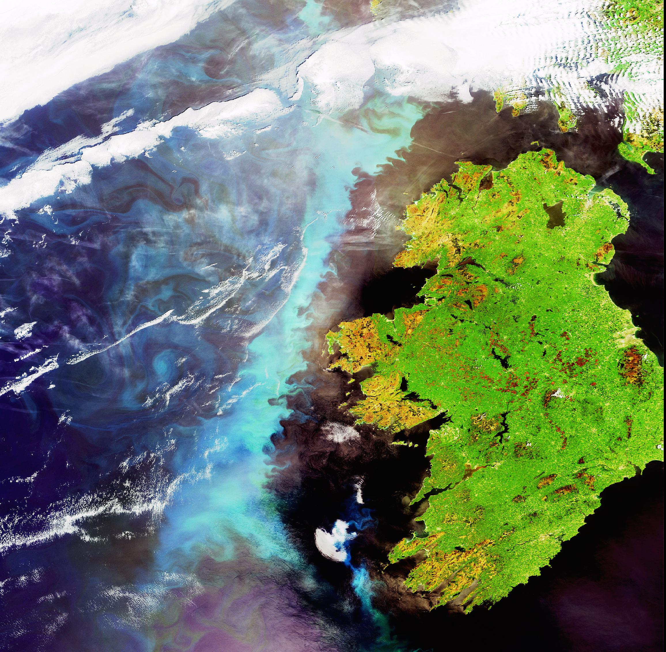
Investigating anthropogenic impacts on coastal dune evolution using airborne lidar and hyperspectral image data
Coastal dune fields form a natural defence against flooding and coastal erosion, a defensive role that becomes more vital with predictions of significant sea-level rise throughout the 21st century. Sand dunes, though, are notoriously dynamic phenomena – constantly shifting position, size and shape in response to environmental, and anthropogenic, pressures – and we lack basic knowledge about how they evolve over time. This project aims to map, model and monitor Sefton Coast SAC, the largest dune field in England, investigating how dune evolution relates to natural and human processes. The research will be conducted as part of a 2018 NERC Airborne Research Facility data grant, providing airborne lidar and hyperspectral image data. Lidar data will be acquired to generate detailed 3D representation of the dune field, and this will be compared against a rich set of recent lidar acquisitions by the Environment Agency, enabling temporal analysis of dune morphology since 1999. Hyperspectral imagery will be acquired to classify vegetation and other land cover over the dune field, indicating how factors such as distance from coast, position on/in dune and proximity to human development influence vegetation cover. Lidar and hyperspectral data outputs will then be combined to drive predictive roughness modelling of dune evolution. Finally, dune morphology will be compared against environmental and anthropogenic impacts to start to unpick the causes of dune evolution over time.
Contact paul.aplin@mic.ul.ie for informal discussion about this PGR project idea.
Can’t see the trees for the wood: drone-based investigation of timber species invading Chile’s native forest
Chile’s temperate forests are a global biodiversity hotspot, but face intense pressure from commercial timber production of non-native species. While large-scale plantations can be monitored using satellite imagery, gradual invasion of alien trees into native forest is hard to detect. Effective forest conservation relies on regular monitoring, and traditional remote sensing approaches – e.g. using medium spatial resolution Landsat, and now Sentinel, satellite imagery – enable straightforward identification of forest stands, both for native forests and alien plantations. However, identifying invasion of alien trees into native forest stands is far more challenging, and medium resolution imagery offers limited spatial, and potentially limited temporal, detail to achieve this goal. On the contrary, drone-based remote sensing can provide highly detailed and low-cost imagery, and also offers flexible, on-demand data acquisition. The research aim is to determine the pace and extent of biological invasion of alien woody vegetation into protected native forest areas in central Chile. Mapping the location of alien vegetation will indicate the extent of invasion, while determining the age of alien trees and shrubs will act as a proxy for the pace of invasion (i.e. age decreases away from the boundary and towards the interior of protected areas).
Contact paul.aplin@mic.ul.ie for informal discussion about this PGR project idea.
Intra-annual monitoring of plant functional types in southern African savannahs using high spatio-temporal resolution Planet imagery
Savannah ecosystems encompass one fifth of the terrestrial landscape worldwide. Savannahs provide great range and volume of ecosystem services, including, in protected areas, biodiversity and tourism. Environmental protection measures, though, can affect vegetation distributions, and currently there are significant concerns around woody encroachment in African savannahs. Conservation success relies on effective monitoring and remote sensing has been used widely for this purpose. However, monitoring frequency and accuracy has been constrained by available data, especially reliance on medium spatial resolution sensors such as the Landsat and Sentinel missions. The emergence of Planet imagery as a free source of high spatial and temporal resolution data provides new opportunity for accurate and frequent monitoring. This project aims to monitor detailed savannah plant functional types on an intra-annual basis, providing geospatial information of direct value for savannah ecology and conservation.
Contact paul.aplin@mic.ul.ie for informal discussion about this PGR project idea.


Comments