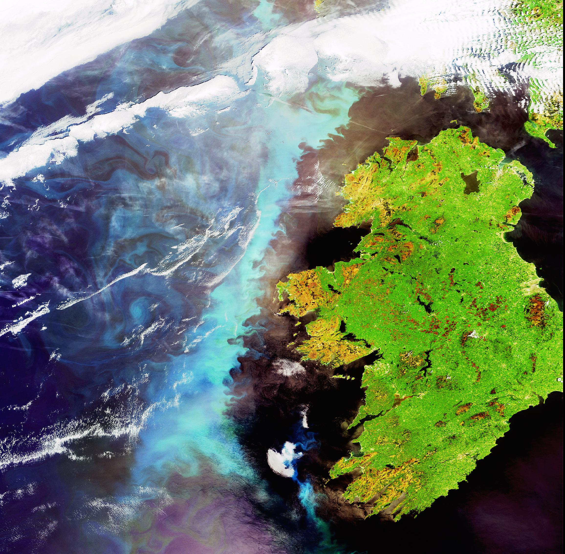
Mapping and Charting Officers, Northern Ireland Civil Service
- @UlsterUniGES

- Jun 11, 2024
- 2 min read
Mapping and Charting Officer
Posted date 05 June 2024
LocationBelfast
Job type Contract
SalaryNegotiable
Discipline Engineering
ReferenceJO-2406-535942
Mapping & Charting Officer
CPL have partnered with Northern Ireland Civil Service (NICS) to recruit for Mapping & Charting Officer’s (E01 Grade) to join their team on a temporary contract of 3 months, with possibility of extension.
· Pay Rate - £15.21 per/hr
· Location – DoF, LPS Ordnance Survey Business Development
· Benefits – 37 days holiday per annum
· Hours – 37 hours per week
The GI Specialist will support the development and maintenance of spatial data and provide mapping and analytical services while promoting and supporting the use of OSNI mapping products.
Responsibilities will include:
· Capture, collate, process, and visualise spatial data.
· Analyse and present data using GIS software/ methods including geocoding, geo-statistical analysis, network analysis and spatial analysis.
· Provide technical advice on GIS methods, technology, equipment as well as present analytical work to assist/ inform decision making.
· Integrate spatial and non-spatial dataset through various methods including database and spreadsheet manipulation.
· Leverage/ use web and cloud-based mapping technologies.
Essential Experience/Qualifications
· Essential - GIS skills – experience/ ability to competently use ESRI ArcGIS software to load, manipulate, analyse, and display spatial data.
· Experience/ ability to competently use database and spreadsheets to manipulate/ analyse spatial and non-spatial datasets.
· Experience applying cartographic skills to visualise digital spatial data.
Desired Experience/ Qualifications
· Experience utilising web and cloud-based mapping technologies.
· Experience presenting work to peers/ senior colleagues and at external forums to inform decision making.
· BSc Geography, Marine Science, Environmental Science, Archaeology, Environmental Engineering or other alternative with GIS modules.
· MSc Geographical Information Systems (desirable but not essential).
For further details please apply directly below or contact Anne-Marie Erhalim directly.
If successful you will be required to complete a criminal record check through Access NI, having a criminal conviction will not necessarily exclude you from this process. Cpl have a policy on the recruitment of ex-offenders, for a copy of this policy please email melissa.leeper@cpl-ni.com.


This Mapping & Charting Officer role with the Northern Ireland Civil Service looks like a great opportunity for GIS specialists eager to apply spatial analysis and cartographic skills in a government setting. For employers looking to vet candidates thoroughly, understanding modern background check trends is crucial: https://rapidhiresolutions.com/modern-employee-background-checks-in-2025/
For applicants preparing for roles like the Mapping & Charting Officer with the Northern Ireland Civil Service, it's important to note that a criminal record check through Access NI is required. If you need a fast, compliant, and confidential service to complete this step, visit: https://www.exactbackgroundchecks.com/best-services-for-criminal-background-checks/. They offer efficient criminal background screening tailored for employment and government roles.